South West Water’s WaterFit Live map of combined sewer overflow (CSO for short) activations currently only contains a couple of offline event duration monitors (EDM for short) at Totnes and Par Sands:
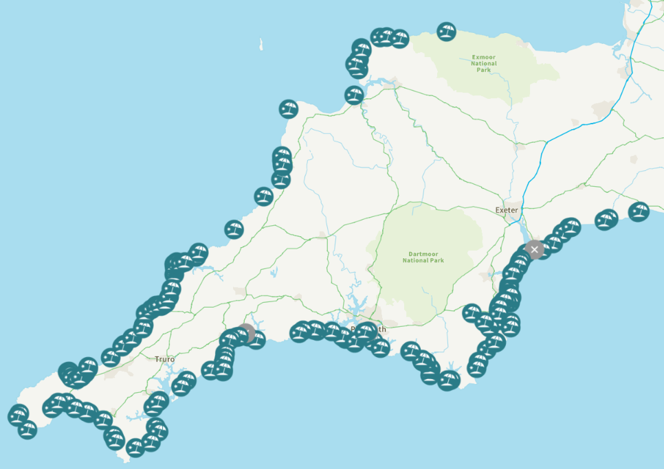
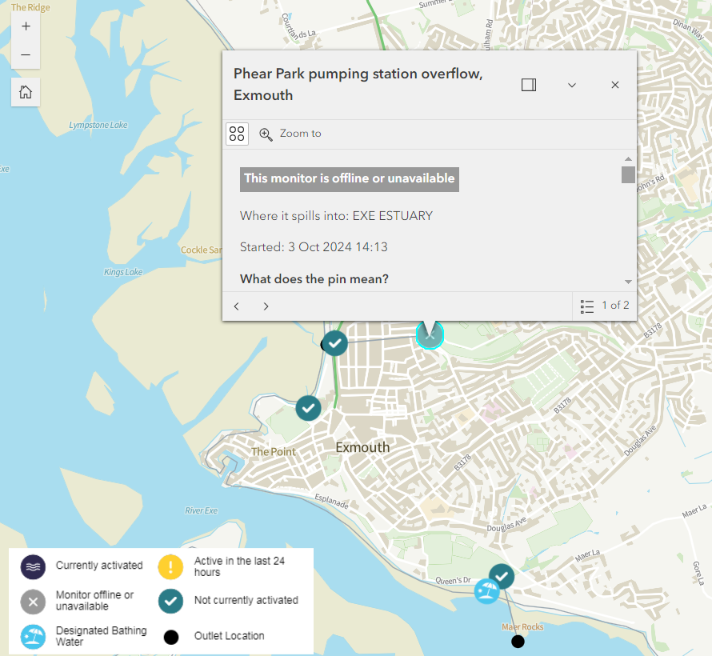
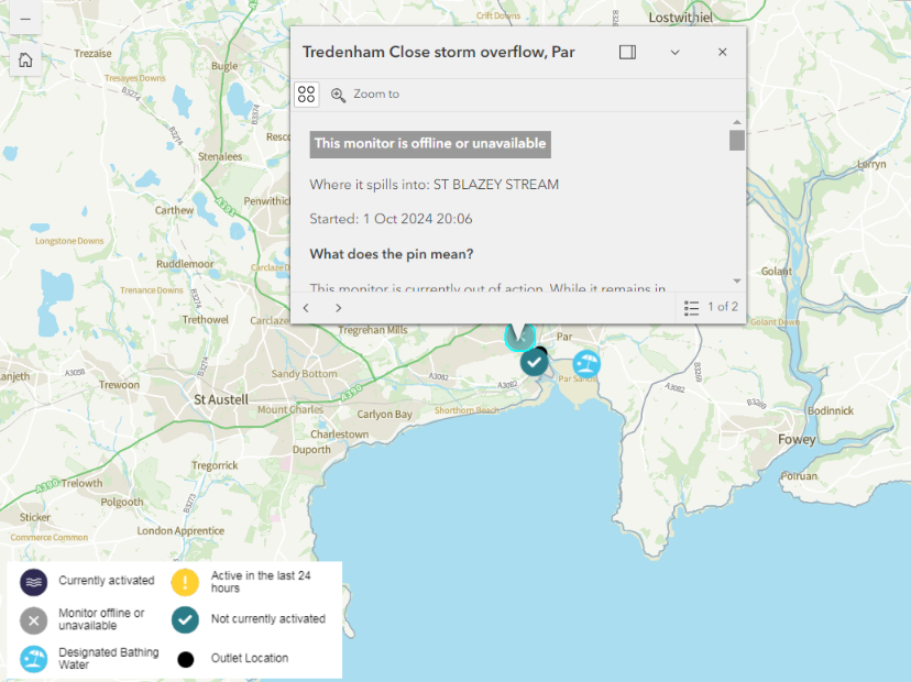
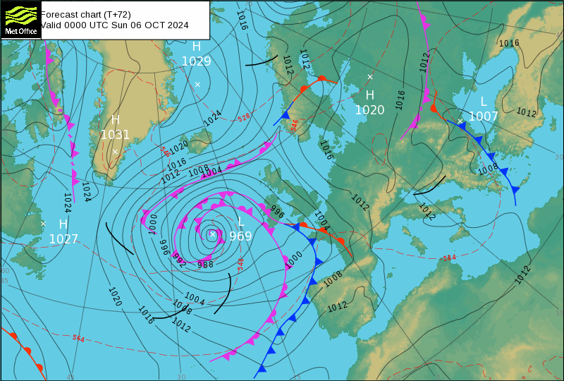
However, some more potential sewage pollution is looming on the not too distant horizon. Fronts associated with a low pressure area currently crossing the North Atlantic are due to arrive here on Saturday night:
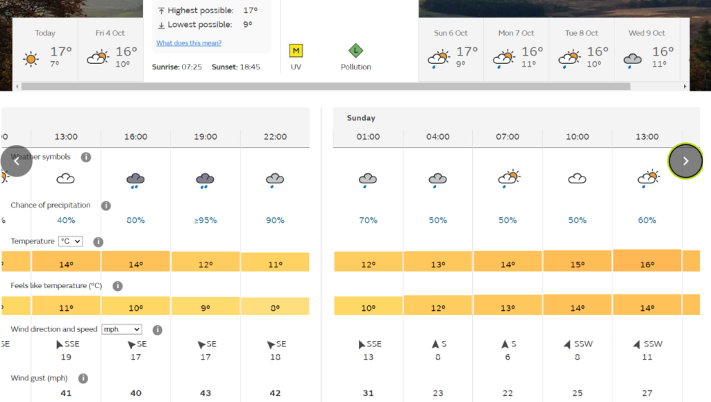
The Met Office in Exeter is currently forecasting a period of heavy rain on Saturday evening:
Following on from that storm is a wildcard in the form of Hurricane Kirk, which arrives on the Met Office surface pressure charts on Monday morning and looks likely to affect the United Kingdom’s weather thereafter:
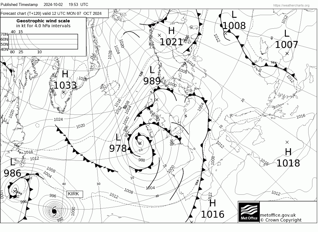
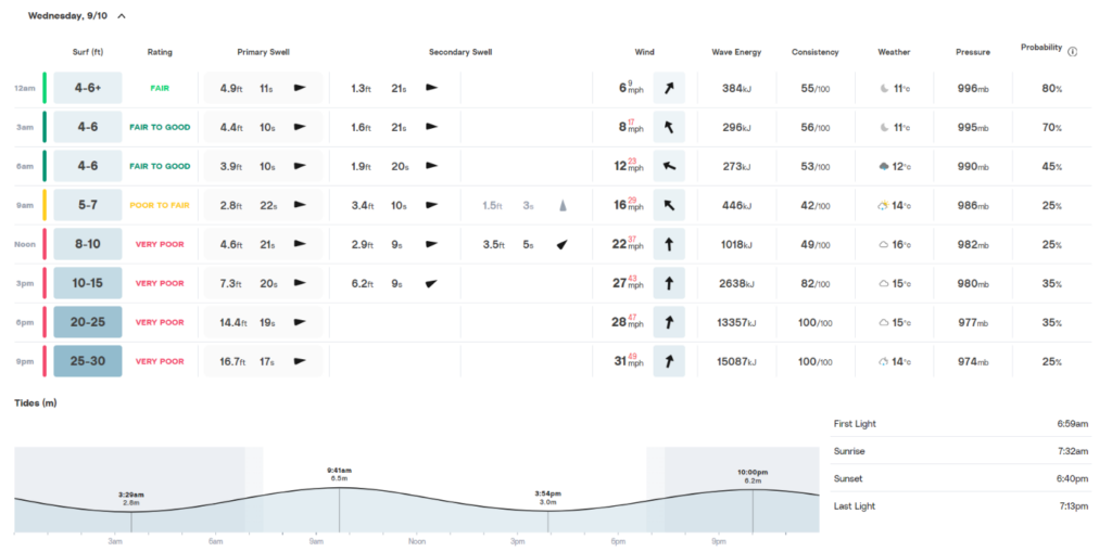
Here’s the current Surfline surf forecast for Widemouth Bay on Wednesday October 9th:
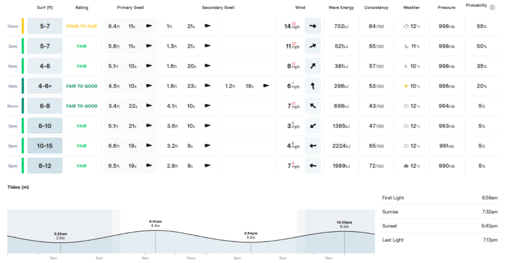
Here’s the latest Met Office chart showing Hurricane Kirk spinning out in the North Atlantic on Monday
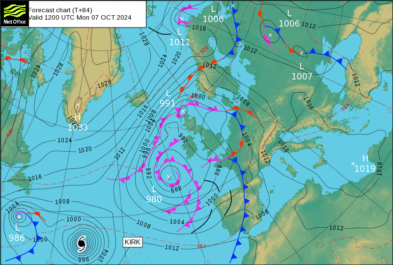
The surf forecast for Widemouth Bay on Wednesday has become much more boisterous!
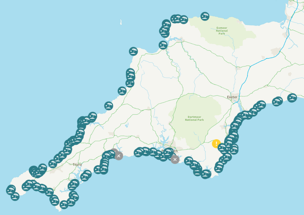
The forecast rain hasn’t arrived yet, but nevertheless a blot has appeared on the WaterFit Live landscape:
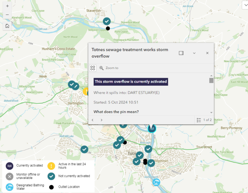
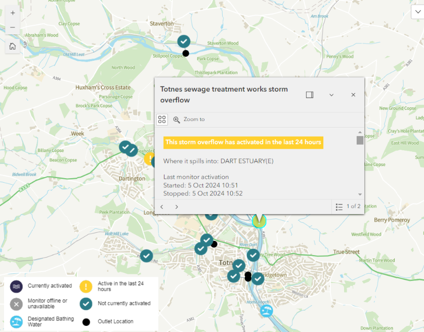
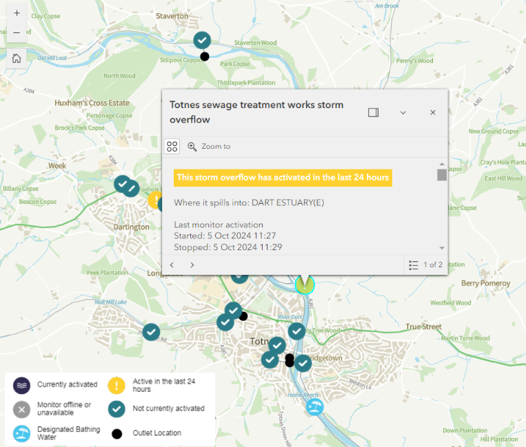
The CSO at Totnes sewage treatment works has been activating in short bursts this morning:
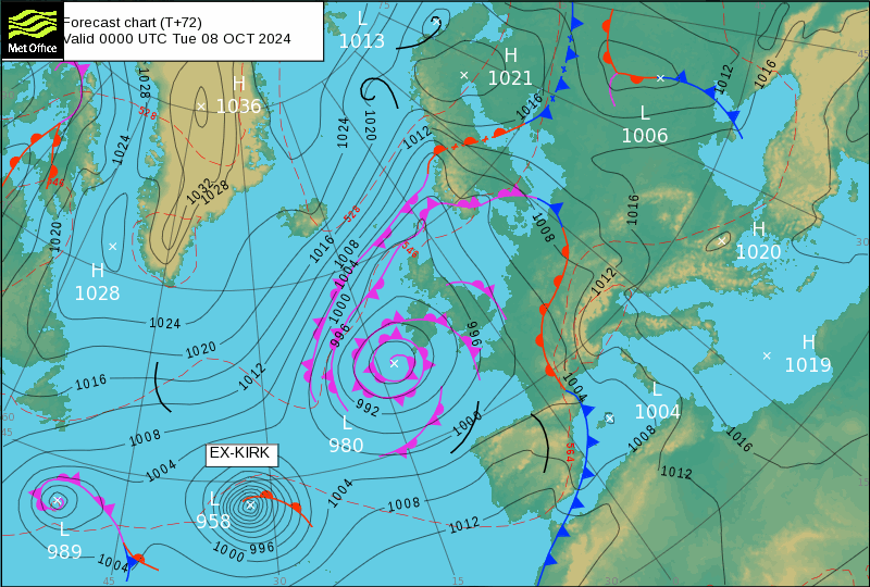
Whilst we await this evening’s rain, the Met Office forecasts that by Tuesday morning Kirk will no longer be a hurricane:
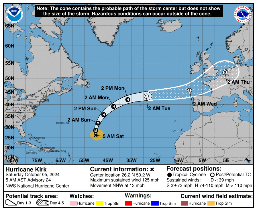
The United States’ National Hurricane Center currently predicts that the remnants of Kirk will probably pass south of the United Kingdom:
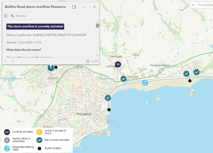
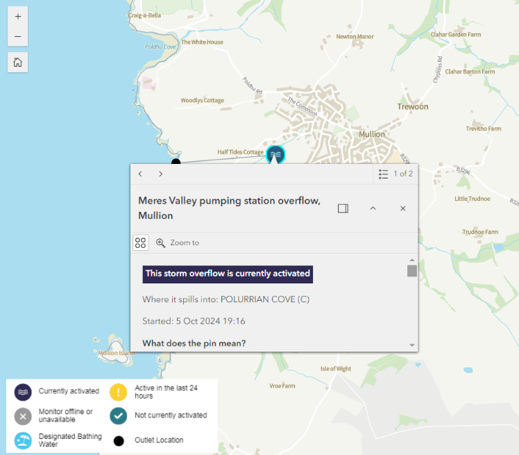
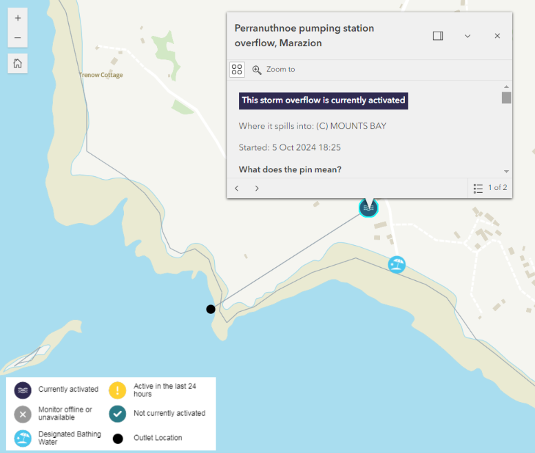
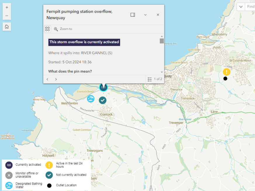
P.S. It’s been raining in West Penwith for a couple of hours now. The first of this evening’s sewage pollution incidents began at 17:25 at Long Rock beach in Penzance, followed by Perranuthnoe at 18:25, Crantock at 18:36 and Polurrian Cove at 19:16:
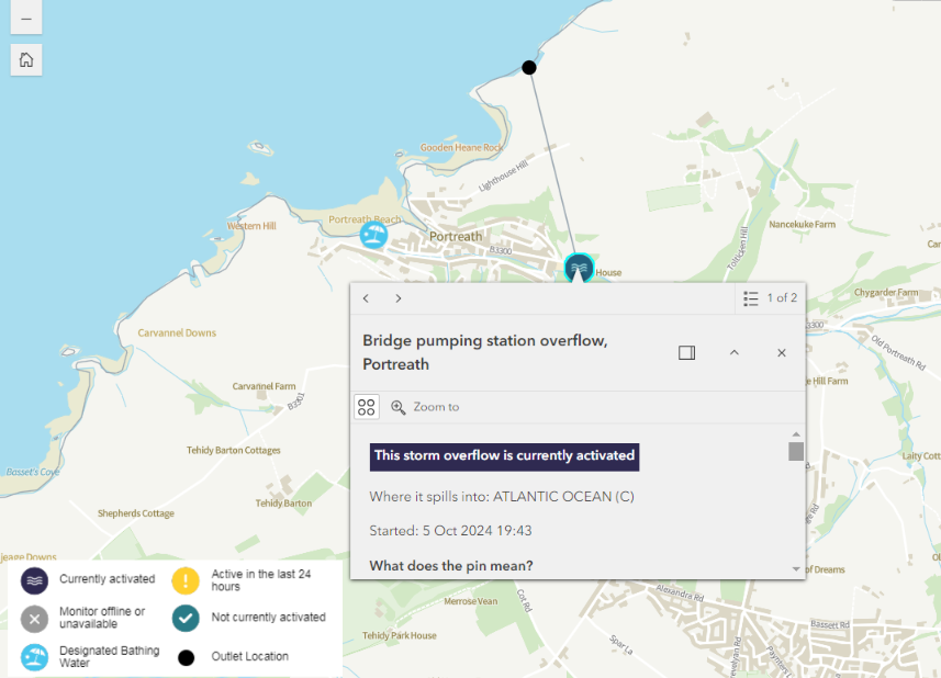
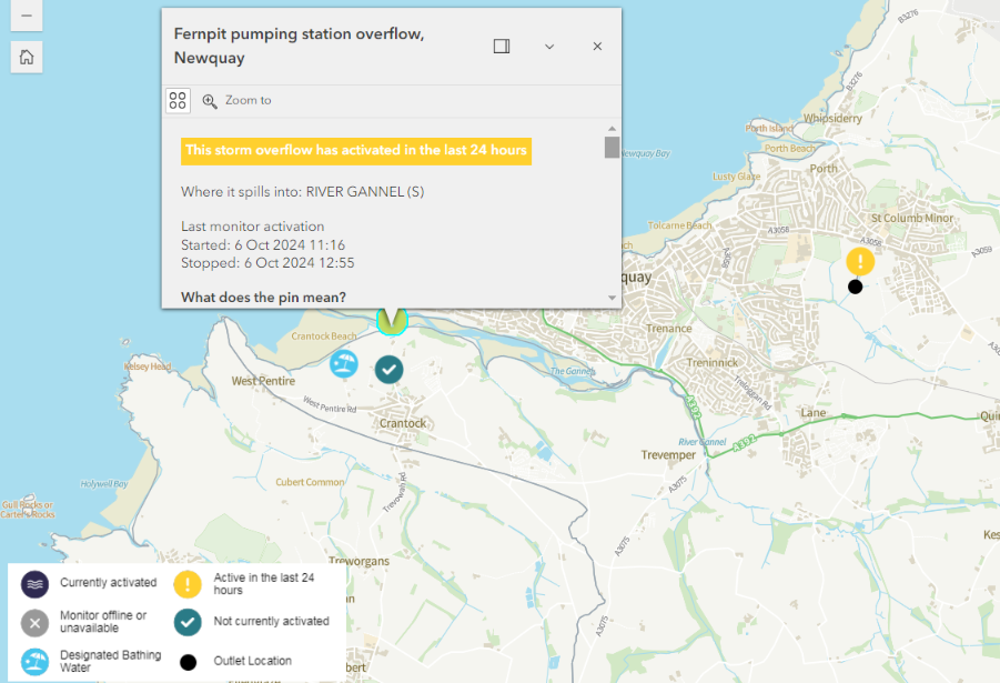
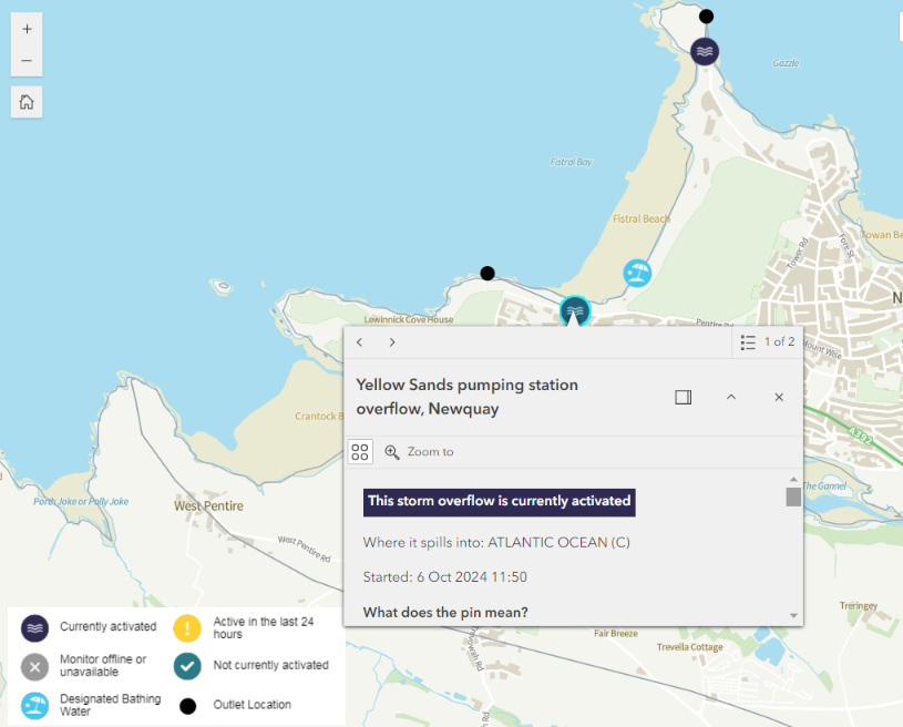
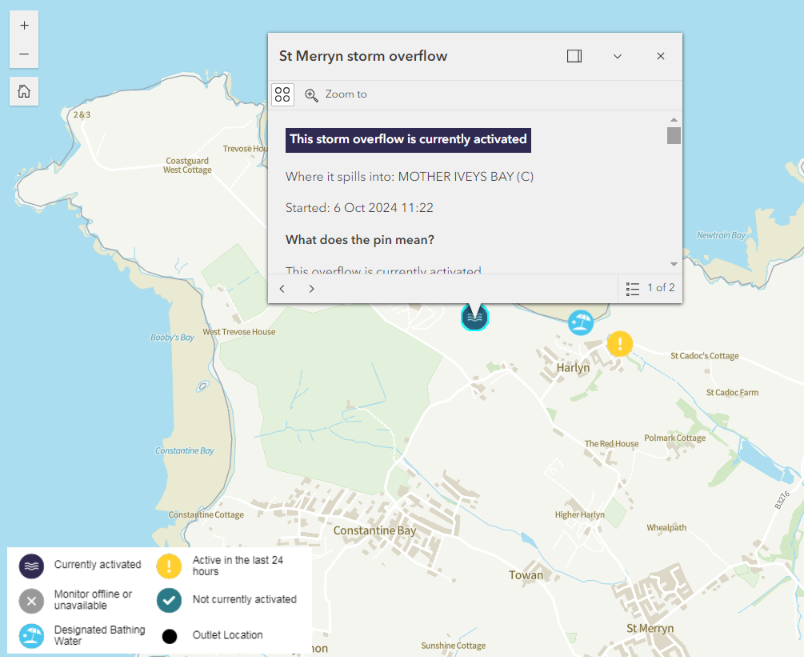
Along the north coast of Cornwall we also have Trevaunance Cove near St. Agnes at 19:15, Fistral Beach in Newquay at 19:31, Portreath at 19:43 and Harlyn Bay at 20:32:
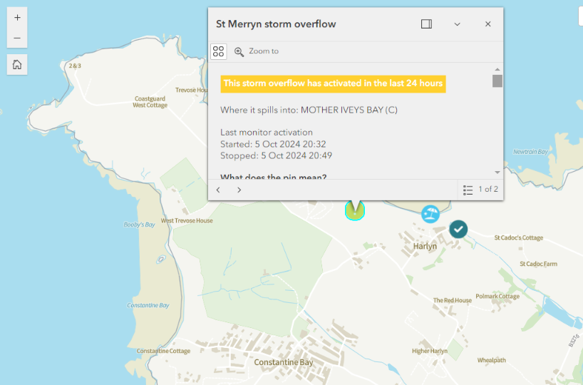
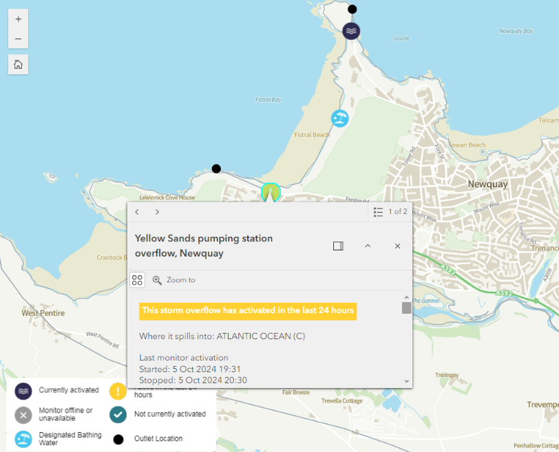
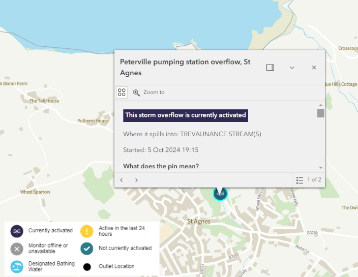
Sunday morning’s WaterFit Live map looks like this:
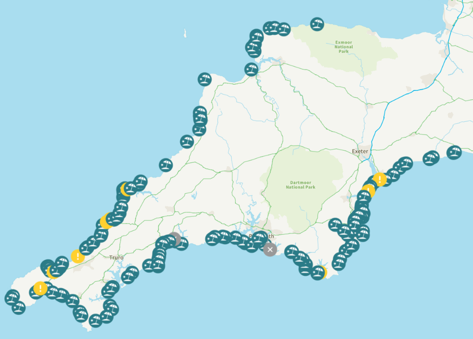
Overnight there has been a “spill” lasting 3 1/2 hours at Porthkidney Sands near St.Ives. The pollution at Long Rock eventually finished after 9 hours:
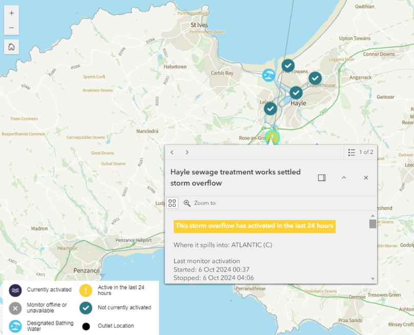
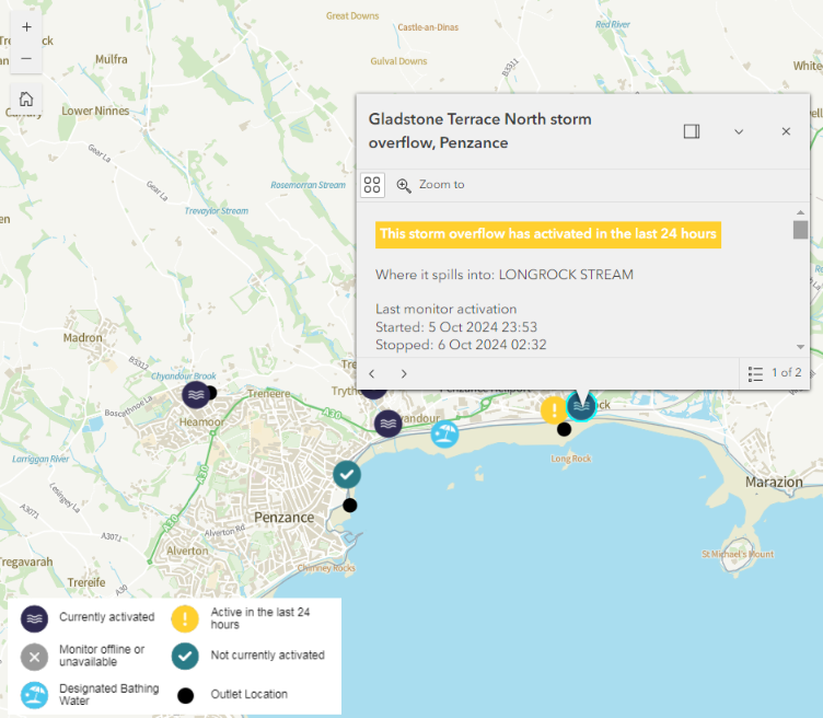
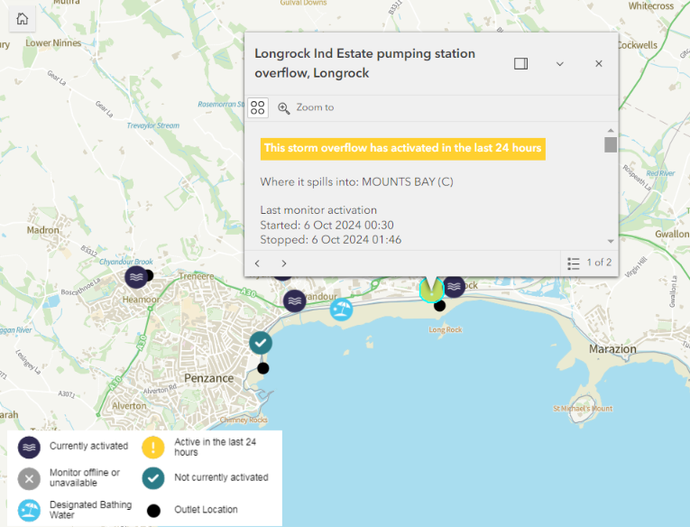
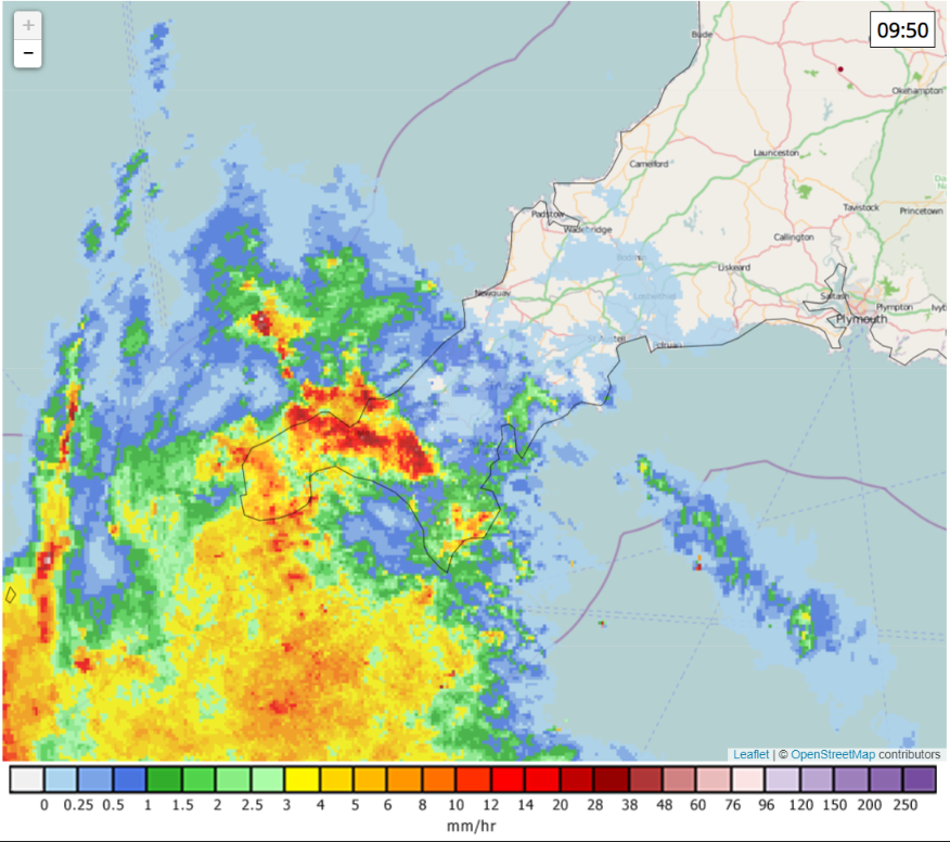
Another band of heavy rain has now reached Penzance. The monitors have activated once again for the CSOs affecting Long Rock beach, as has the Tolvaddon Tank overflow affecting Gwithian and Godrevy Towans:
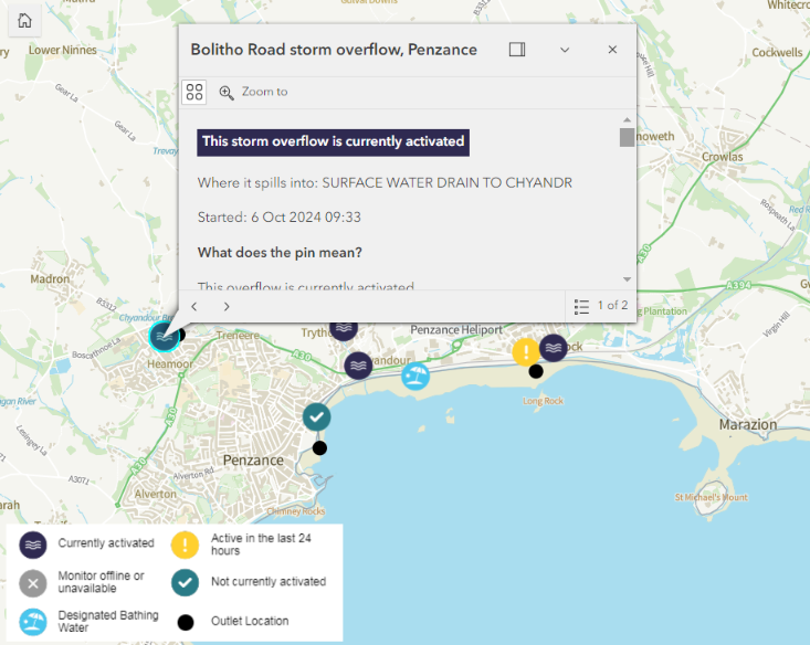

By Sunday lunchtime both coasts of Cornwall are suffering from a surfeit of sewage pollution:

Adding to the lengthening list are the north coast surfing beaches of Porthkidney, Gwithian, Godrevy, Portreath and St Agnes:
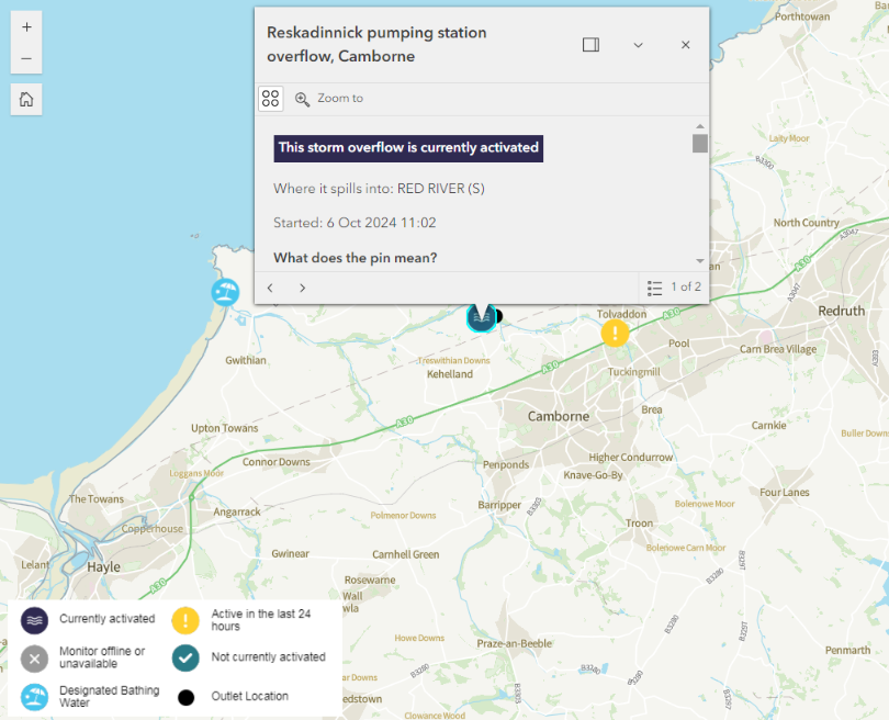
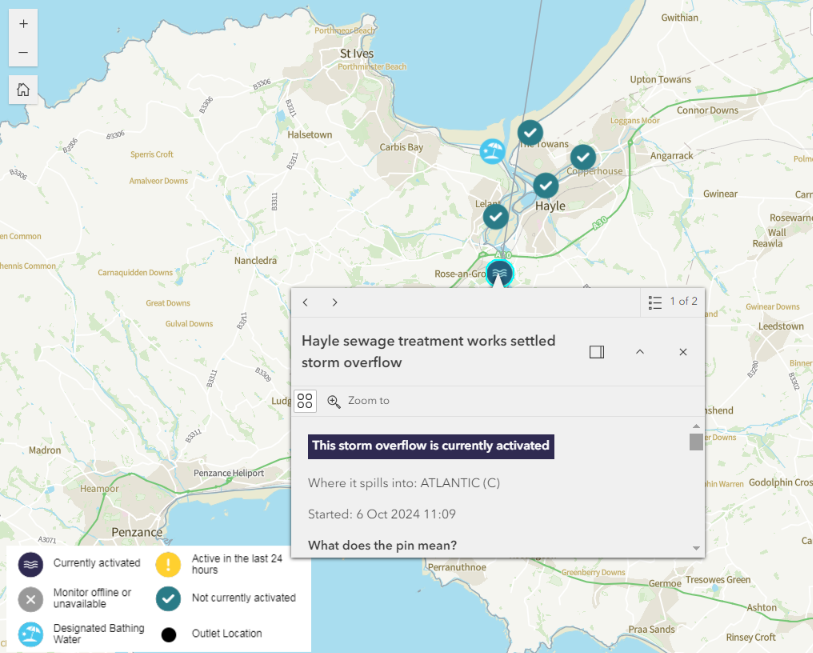
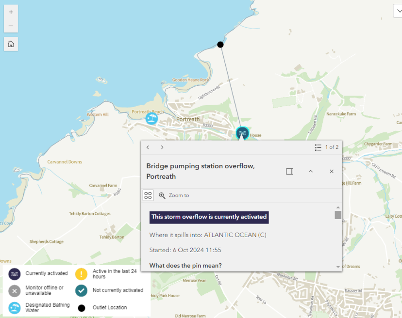
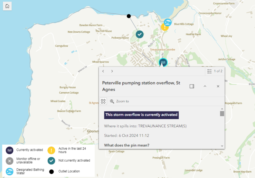
Further north more Cornish surf spots are suffering, including Crantock and Fistral beaches near Newquay, plus Mawganorth and Harlyn yet again:
Meanwhile on the south coast of Devon the River Plym is flushing sewage pollution towards Plymouth Hoe. The River Erme is doing the same for Mothecombe, as is Shadycombe Creek in Salcombe and the River Dart at Totnes:
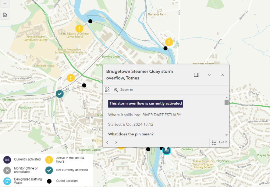
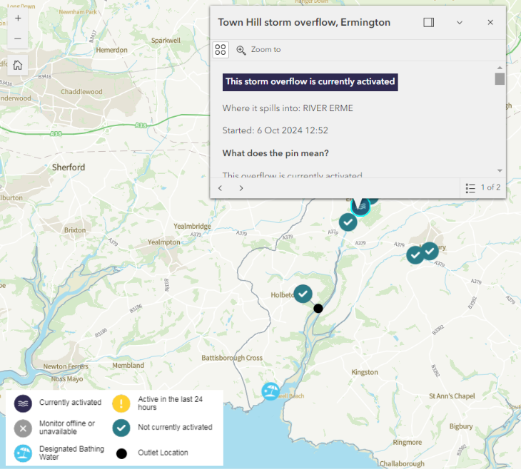

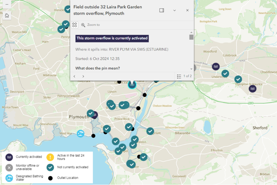
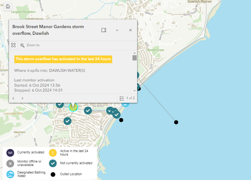
Further east there have been brief “spills” at Torquay, Teignmouth and Dawlish, plus ongoing sewage pollution at Exmouth:
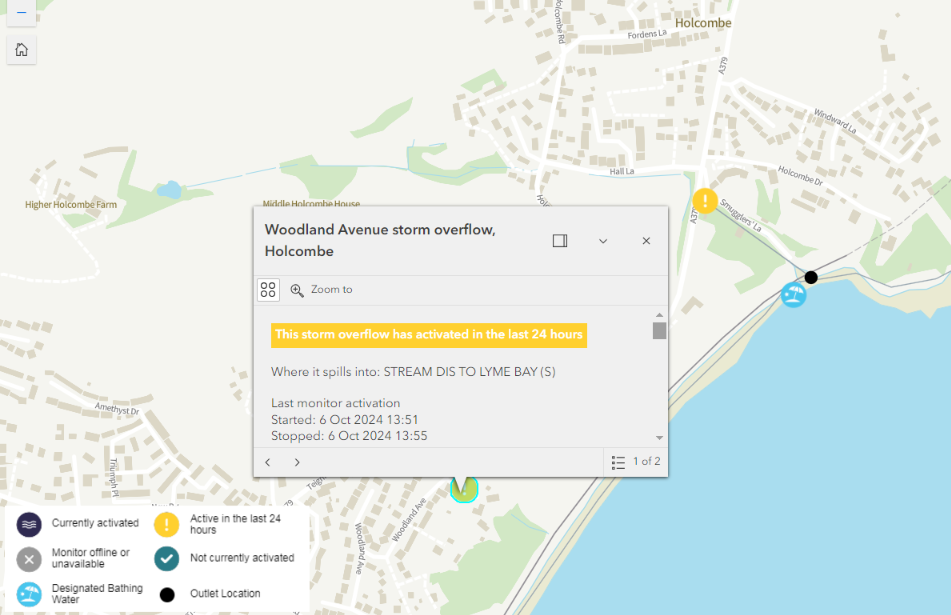
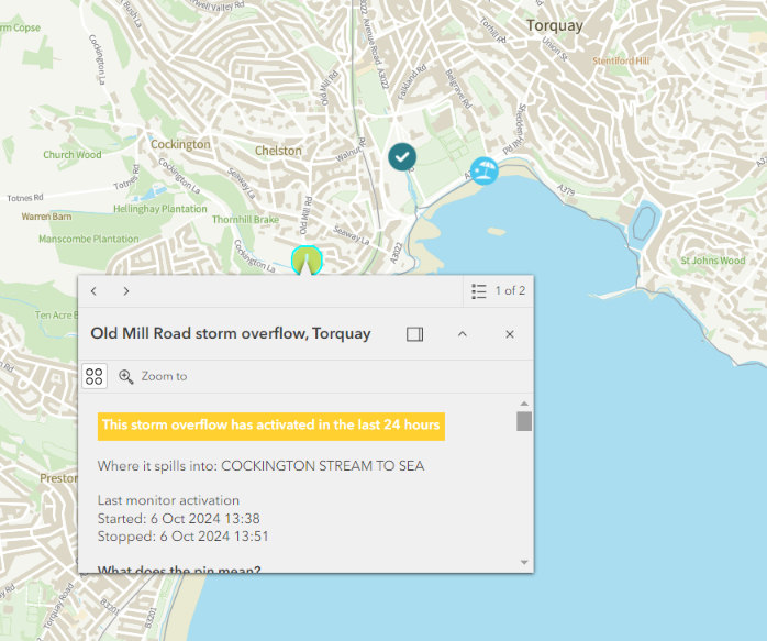
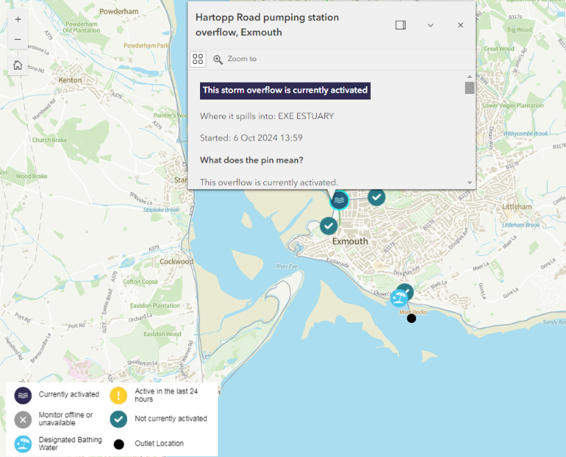
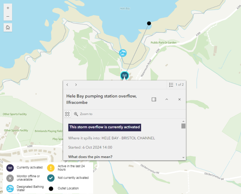
To add further insult to injury, the spreading sewage pollution has reached our corner of North Devon and North Cornwall:
There are ongoing “spills” at Ilfracombe and WestwardHo!, and earlier CSO activations at Widemouth Bay and Summerleaze Beach in Bude:
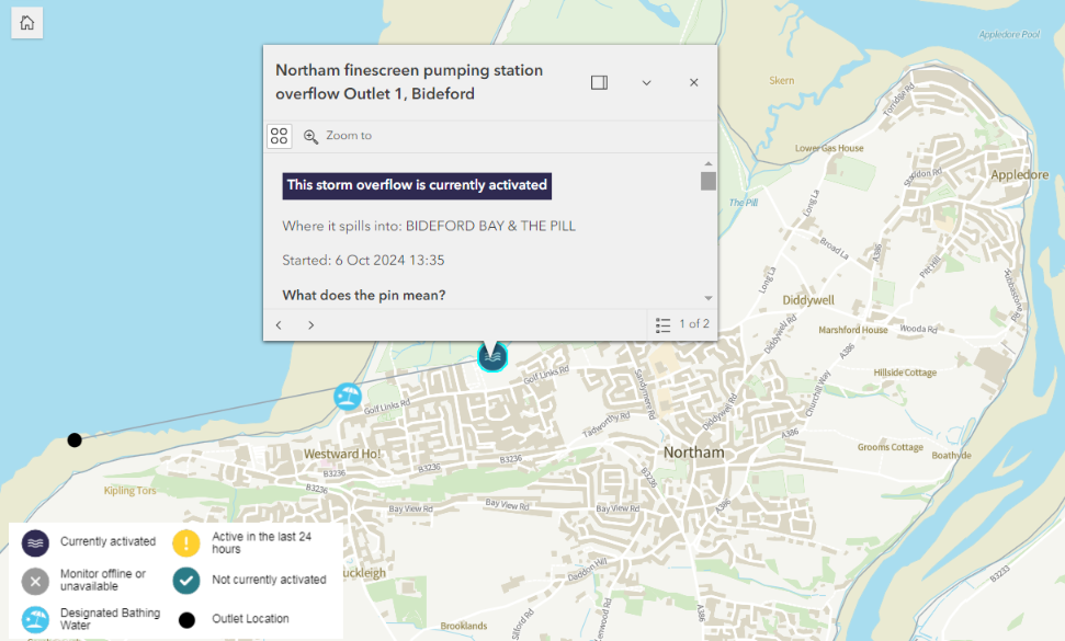
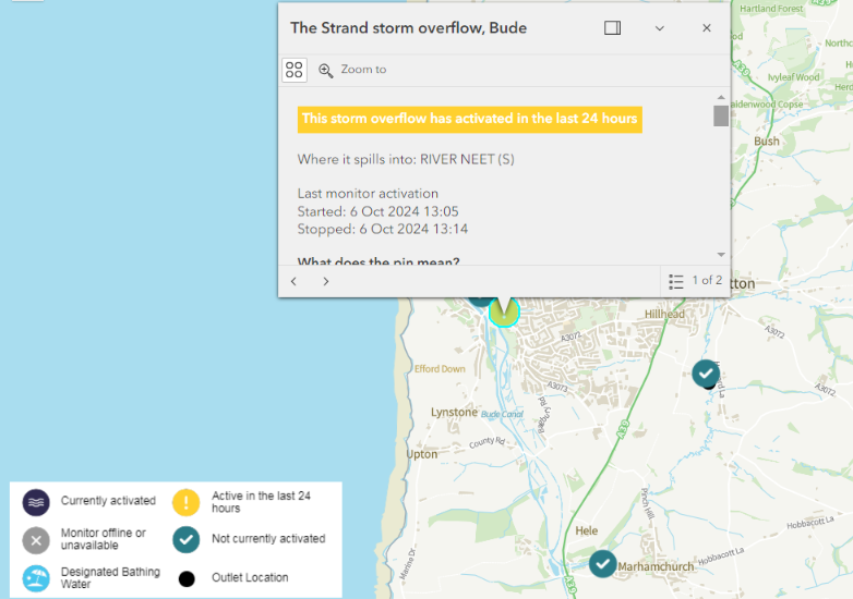
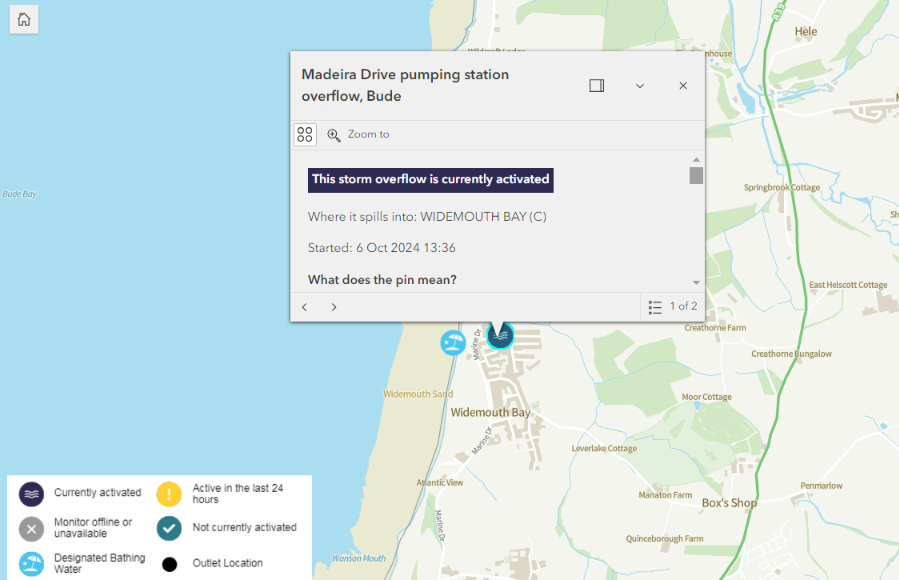
Here’s how the WaterFit Live map looked very early this morning:
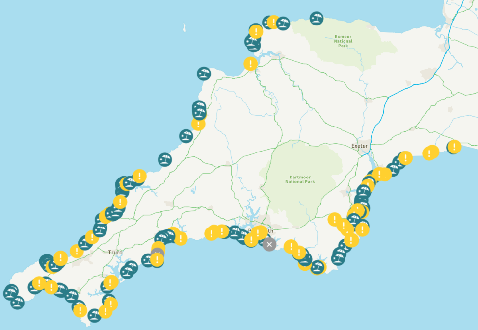
Yesterday’s sewage pollution at Harlyn Bay is continuing this morning, and there is another ongoing “spill” at Readymoney Cove near Fowey:
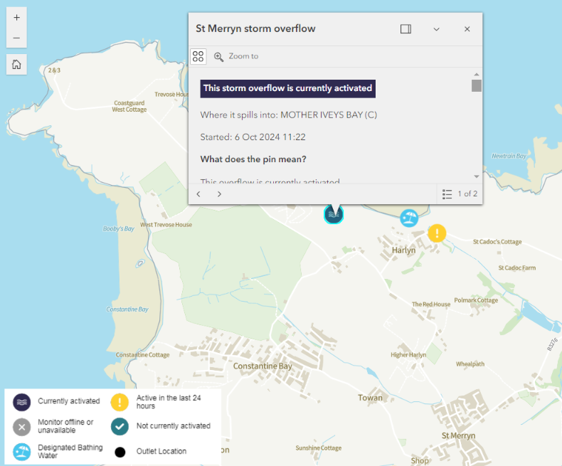
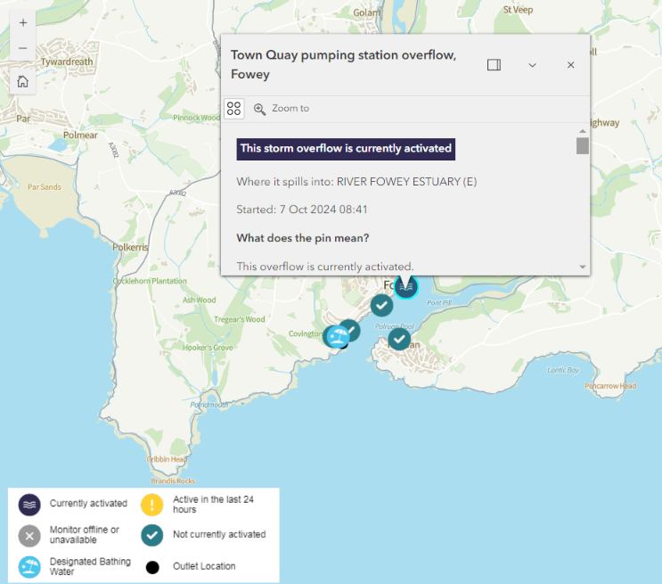
More rain is forecast for this afternoon.
[Update – October 8th]It’s still raining, and there are still plenty of sewage spills that have occurred during the last 12 hours on the WaterFit Live map:
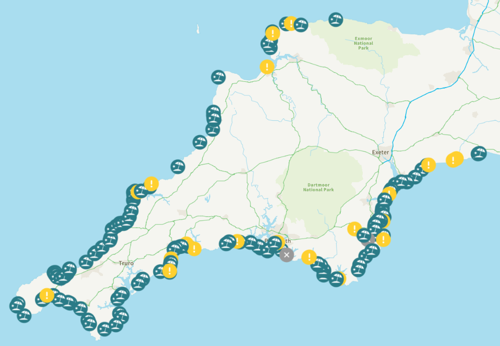
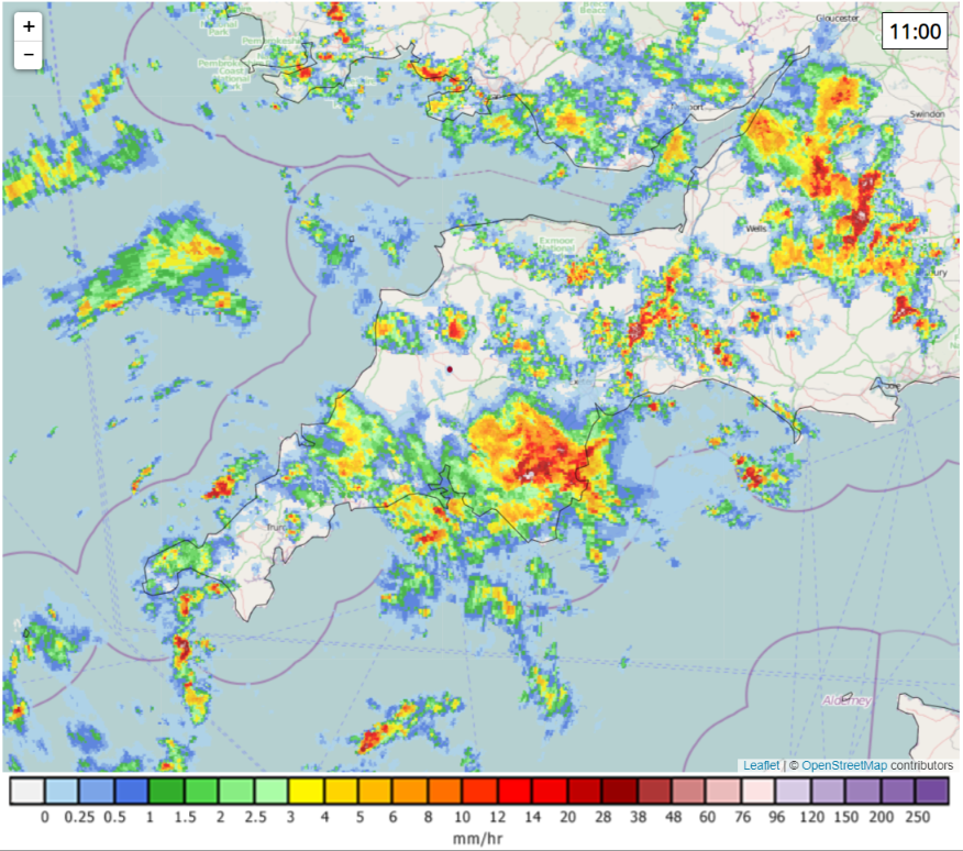
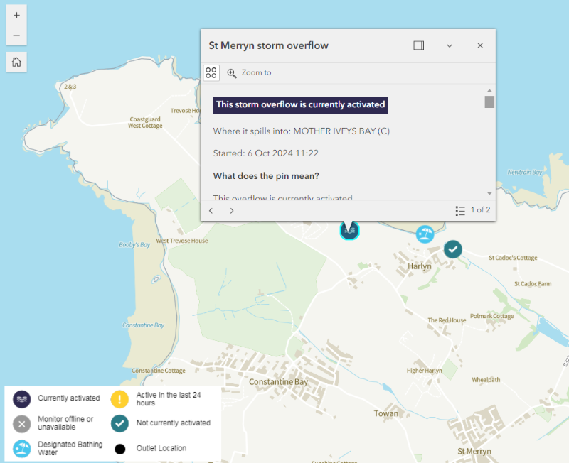
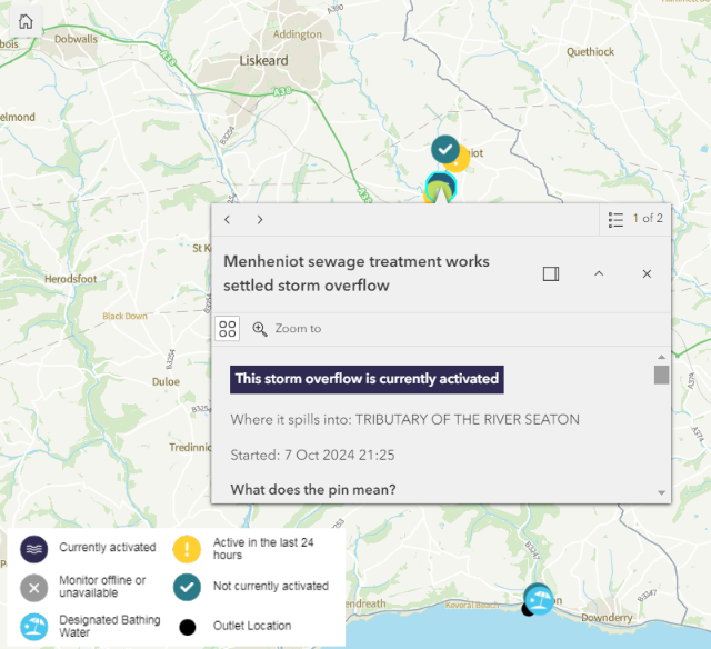
Harlyn Bay has suffered continuous sewage pollution for almost 2 days. Seaton in Cornwall has been suffering for over 12 hours, and Seaton in Devon for over 6 hours:

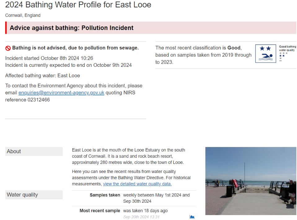
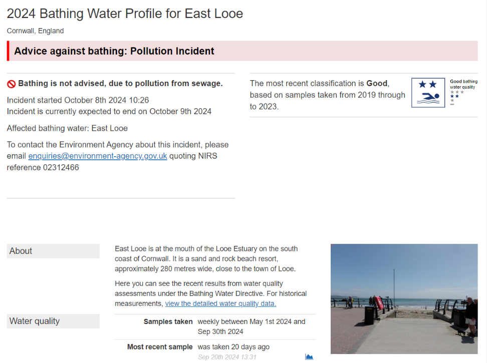
The Environment Agency has issued an “Advice against bathing” warning of sewage pollution at East Looe:
Here’s this evening’s WaterFit Live map. For comparison purposes I’ve also included the Surfers Against Sewage pollution map, which has a 48 hour cut off time, rather than South West Water’s 12 hour limit:
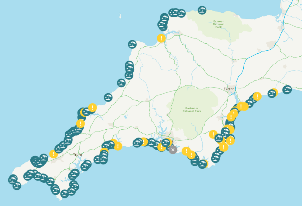
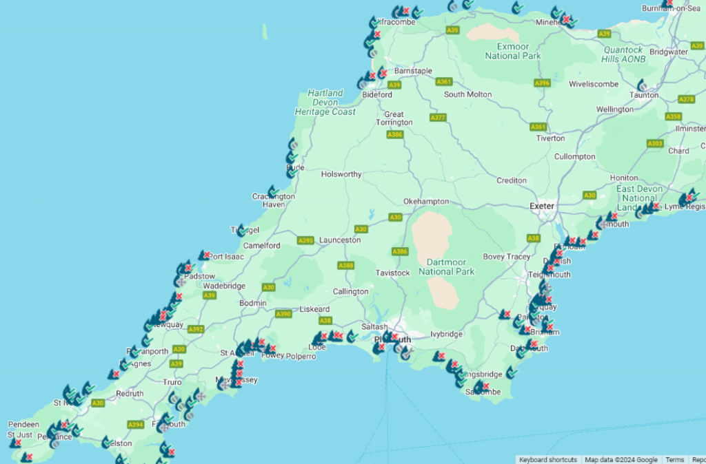
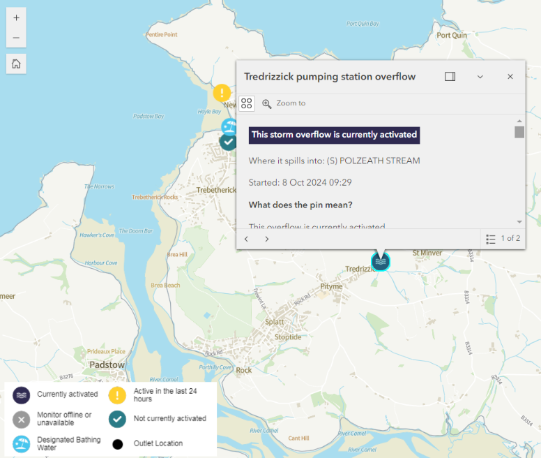
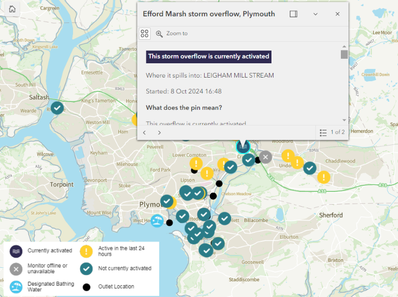
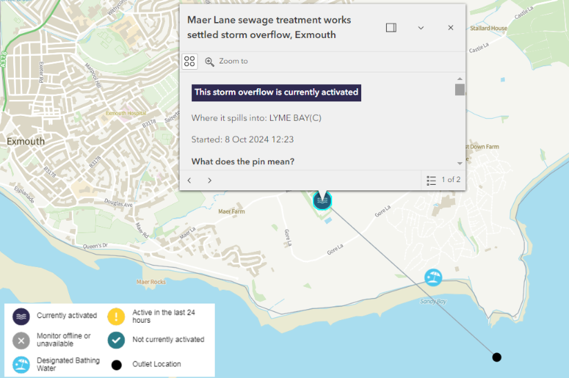
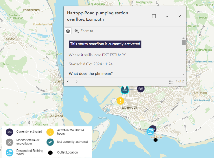
The sewage pollution at Harlyn and the two Seatons continues. They have been joined by ongoing “spills” at Exmouth, Sandy Bay, Plymouth and Polzeath:
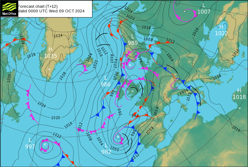
In other news, the latest Met Office surface pressure charts show the remnants of Hurricane Kirk heading for the Bay of Biscay rather than the United Kingdom:
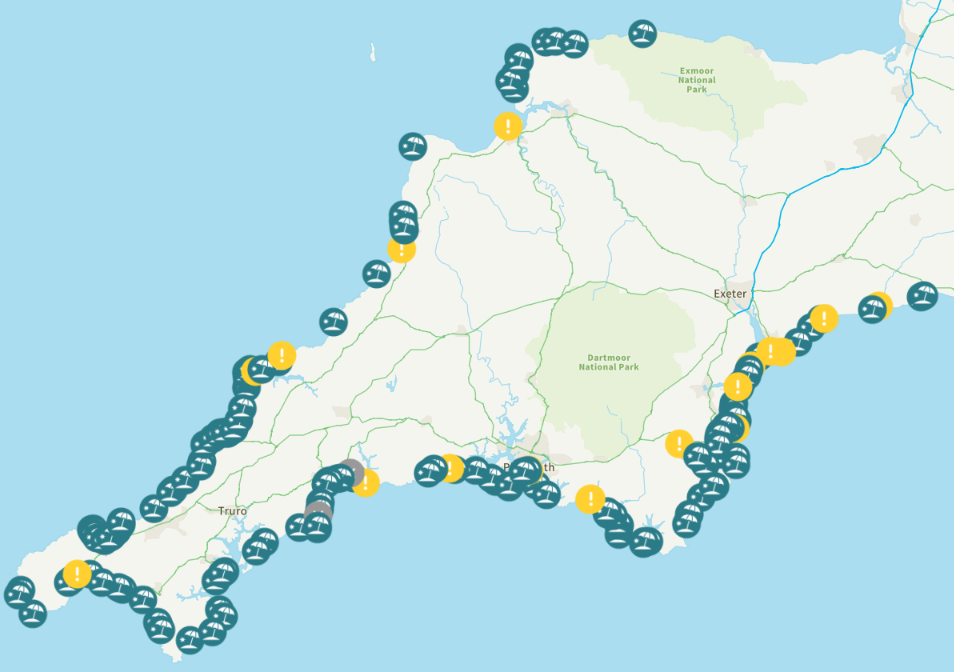
There are only a few “light showers” in today’s weather forecast, but there are still plenty of sewage pollution incidents on this morning’s WaterFit Live map:
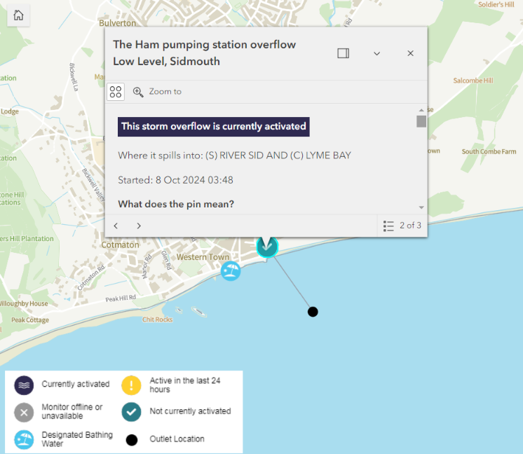
The multi-day “spills” at Harlyn, Sidmouth and both Seatons are continuing:
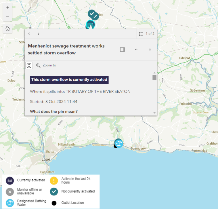
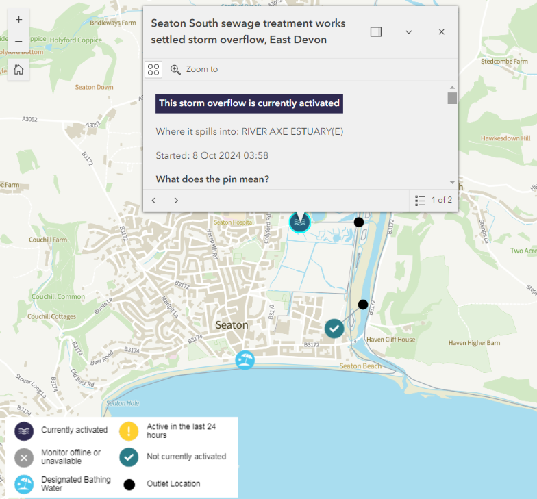
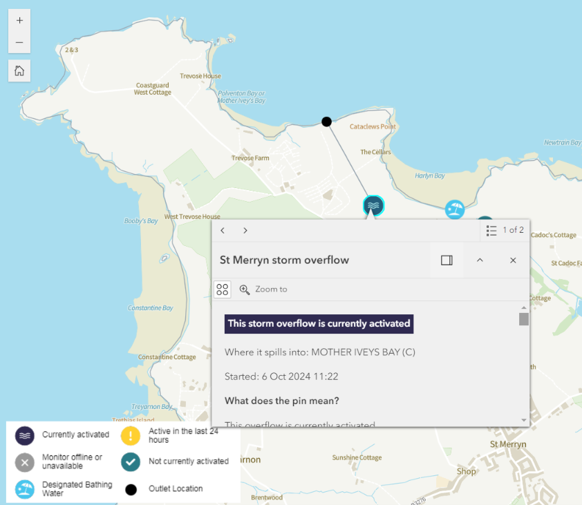
This morning there are now only four beaches on the WaterFit Live map flagged as having an active CSO over the last 12 hours:
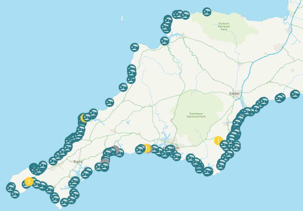
However, despite still stating that the “incident is currently expected to end on October 9th 2024” the Environment Agency “Advice against bathing” due to sewage pollution at East Looe remains in place. The multi-day “spills” at Harlyn Bay and Seaton in Cornwall both seem to have stopped overnight, but have started again this morning:
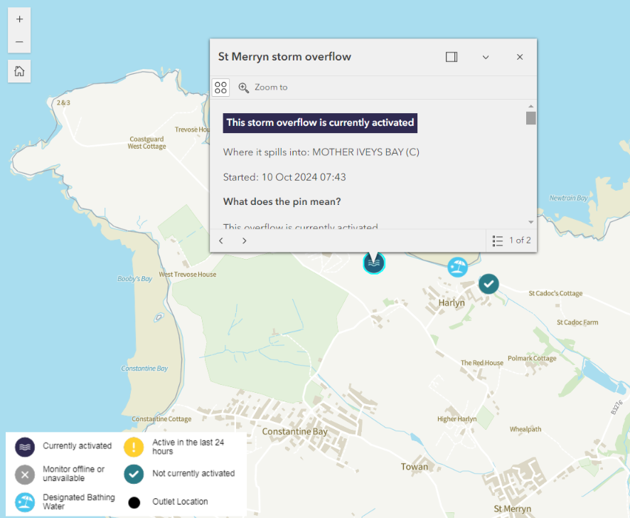
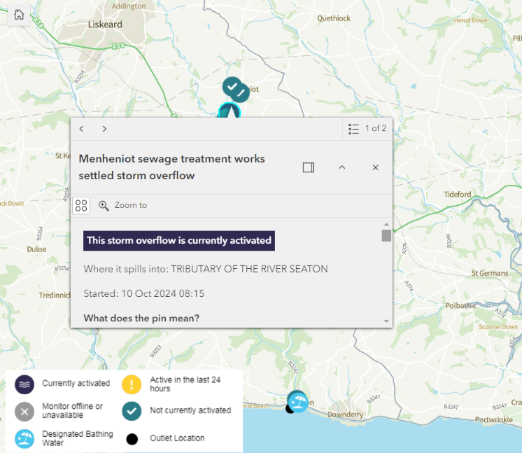
There have also been much shorter bursts of sewage pollution at Sandy Bay yesterday evening, and at Penzance and Totnes this morning:
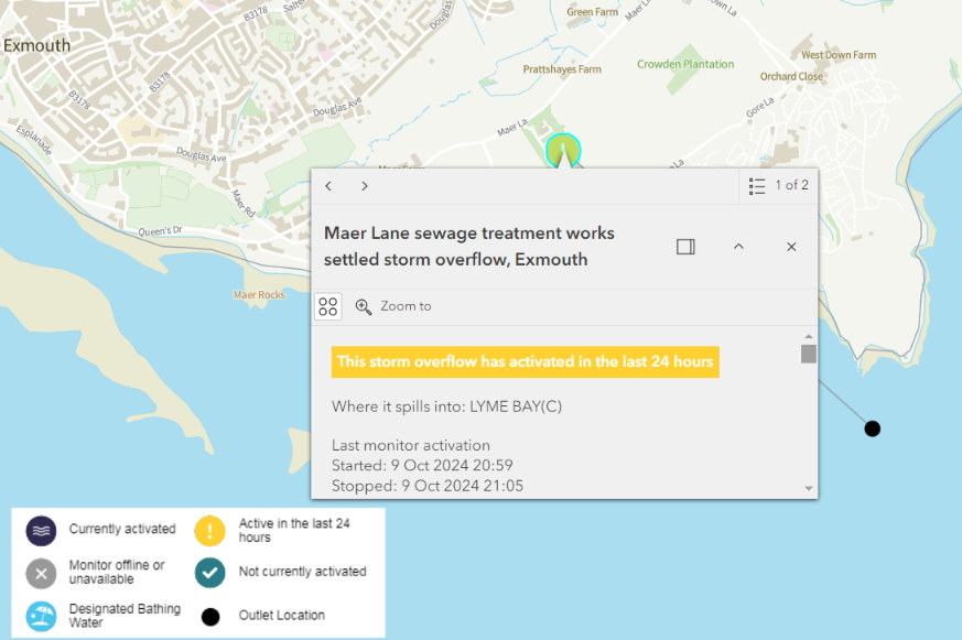
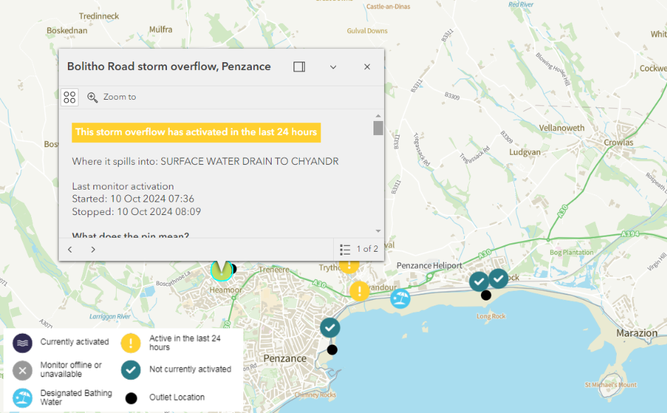
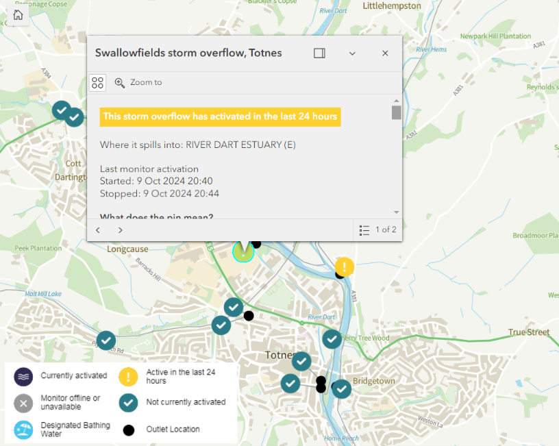
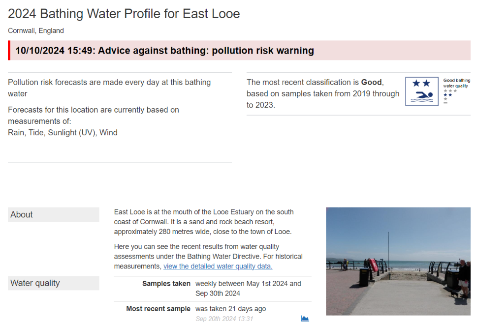
This morning the Environment Agency’s alert for East Looe has been downgraded to a pollution risk warning. There are now only two flagged beaches on the WaterFit Live map. The “spills” at Plymouth and Seaton both finished shortly before midnight:
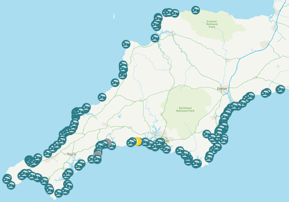
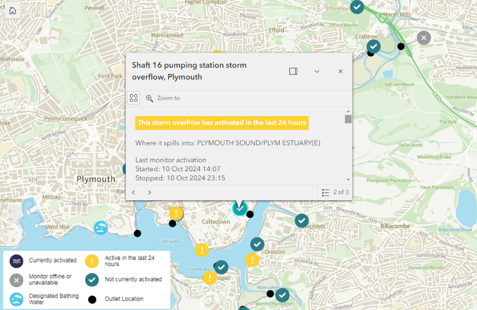
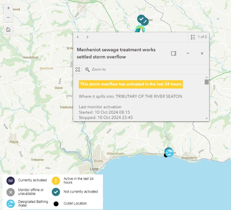
After overnight rain South West Water’s WaterFit Live map of sewage pollution is once again covered with warnings:
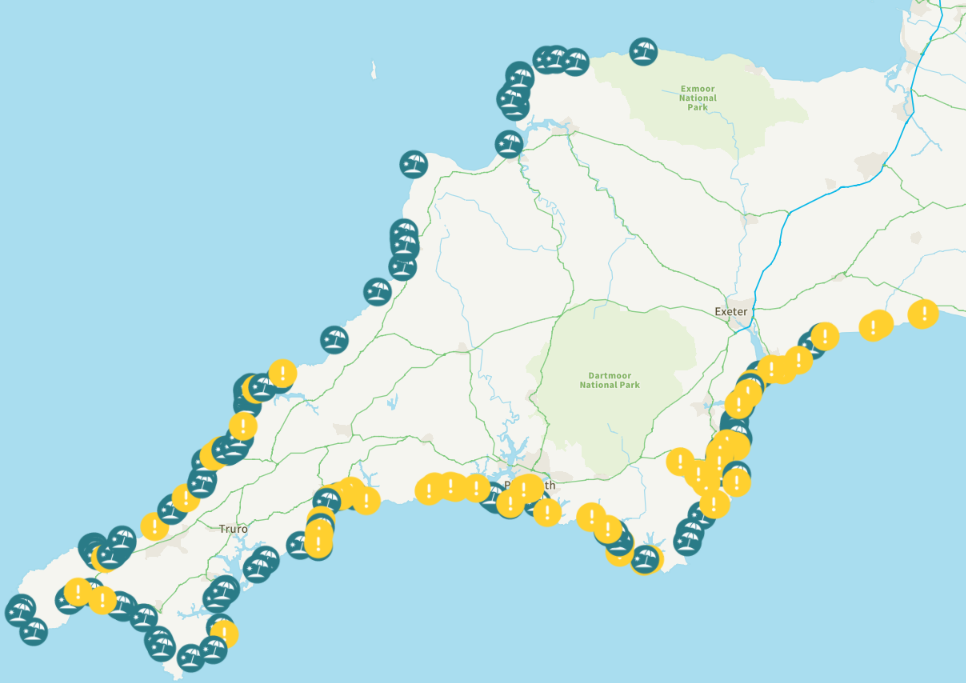
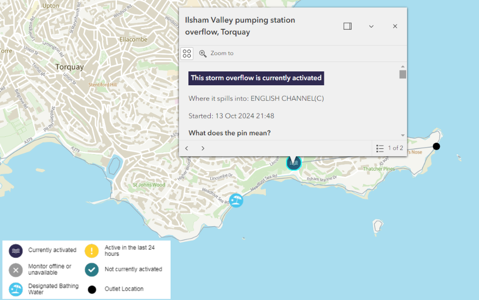
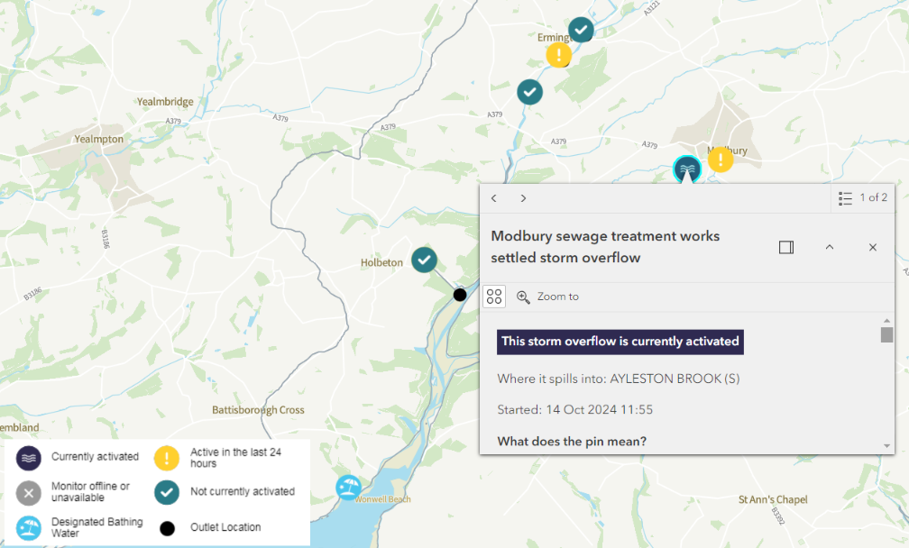
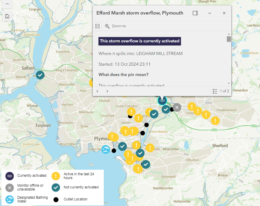
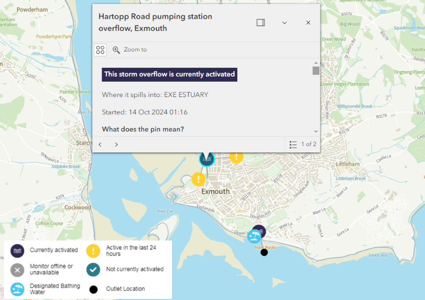
On the south coast of Devon there are ongoing multi-hour spills at the usual suspects of Plymouth, Exmouth, Seaton and Meadfoot beach in Torbay, plus a more recent one at Mothecombe:
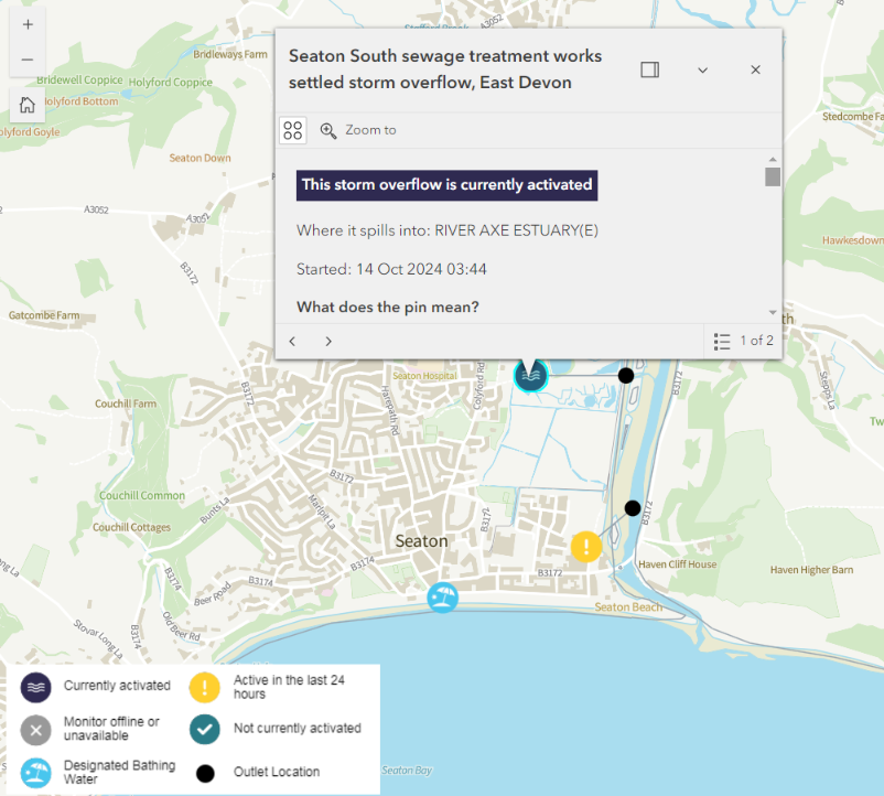
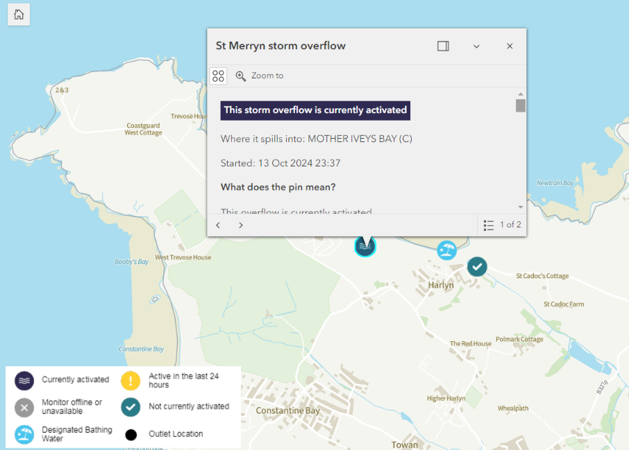
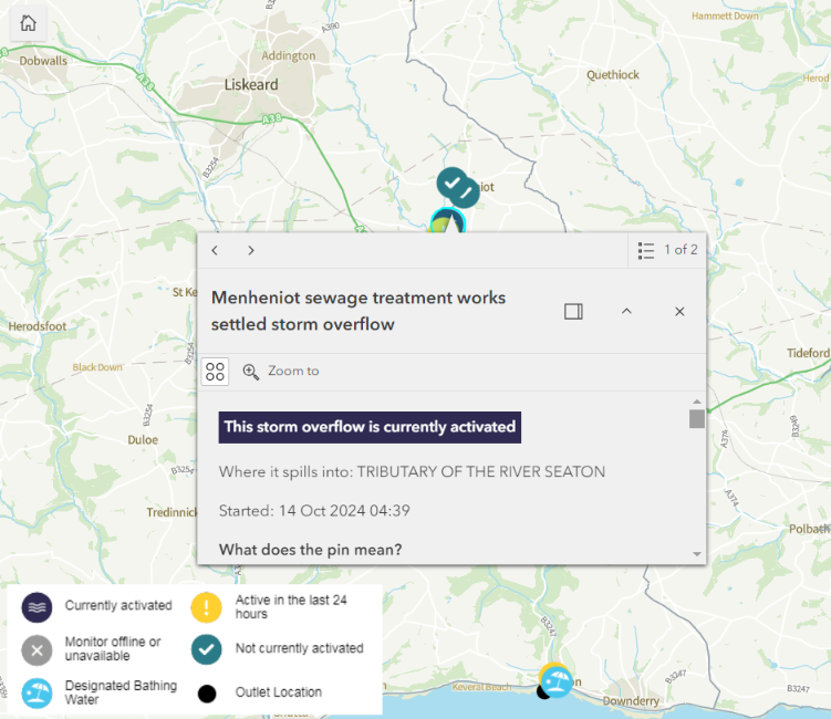
In Cornwall there is continuing pollution at Harlyn Bay on the north coast, and Seaton in the south:
To be continued…